Forecasts and Weather Products

Current Summit Conditions
Real-time graph of all weather variables at the summit of Mount Washington in New Hampshire.

Higher Summits Forecast
Twice daily updated forecast for the higher summits of New Hampshire’s mountains.

Mount Washington Weather and Almanac
Current summit conditions, 24 hour statistics, and today’s almanac data, and yesterday’s weather.
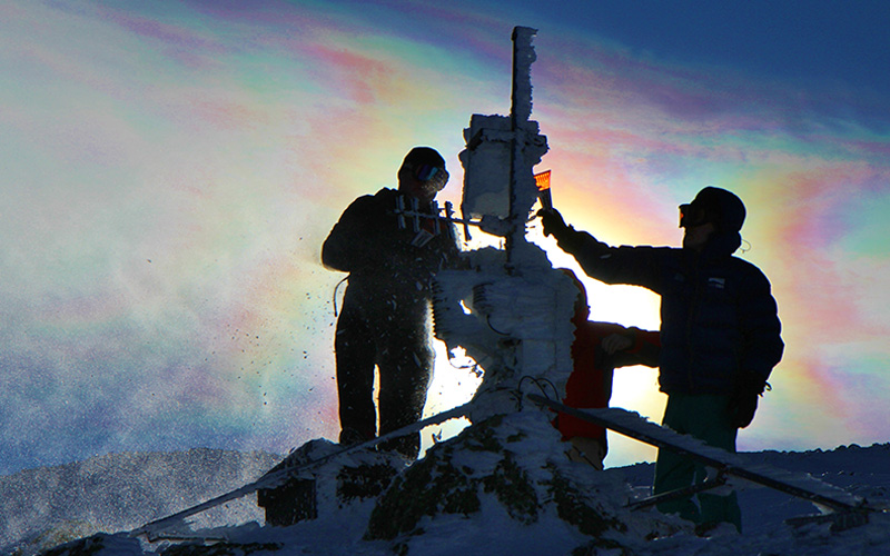
Mount Washington Regional Mesonet
Real time data from each of our automated weather stations located throughout the White Mountains of New Hampshire

Mount Washington Valley Forecast
A forecast and extended outlook for the greater Mount Washington Valley Region

Mount Washington Weather Archives
A repository of monthly F6 forms, Normals, Means and Extremes, 1935-present temperature graph, and NCON3 co-op station.

Daily Regional Weather PDF
A PDF containing the Mount Washington Valley forecast, higher summits forecast, Auto Road Vertical Temperature Profile, morning conditions on Mount Washington, a recap of yesterday’s weather, and almanac data for today.
Our weather services keep people and communities safe throughout the state Of New Hampshire and on visits to the White Mountains.
We offer detailed current conditions for Mount Washington and forecasts for all of the higher summits of New Hampshire as well as forecasts across our region. As a 90-year-old scientific organization dedicated to understanding the processes which shape the Earth’s weather and climate, our forecasts are universally trusted throughout New Hampshire and New England.


